Maximizing Spectral Targeting in Challenging Terrain (Vegetation, Snow, Sand) Part 1
Why it matters?
Exploration rarely happens under ideal conditions. Field access is often limited, and visible geology may be obscured by vegetation, snow, sand, or weathering. TerraEye overcomes these challenges, extracting high-confidence mineral and alteration signals across the AOI, even where conventional observation is impossible.
By combining multi- and hyperspectral data from complementary sources and using multiple timeseries, the system highlights priority zones for verification, allowing teams to make early, data-driven decisions and focus resources where mineralization is most likely — without wasting time on low-probability areas.
Our Proven Approach to Tough Terrain
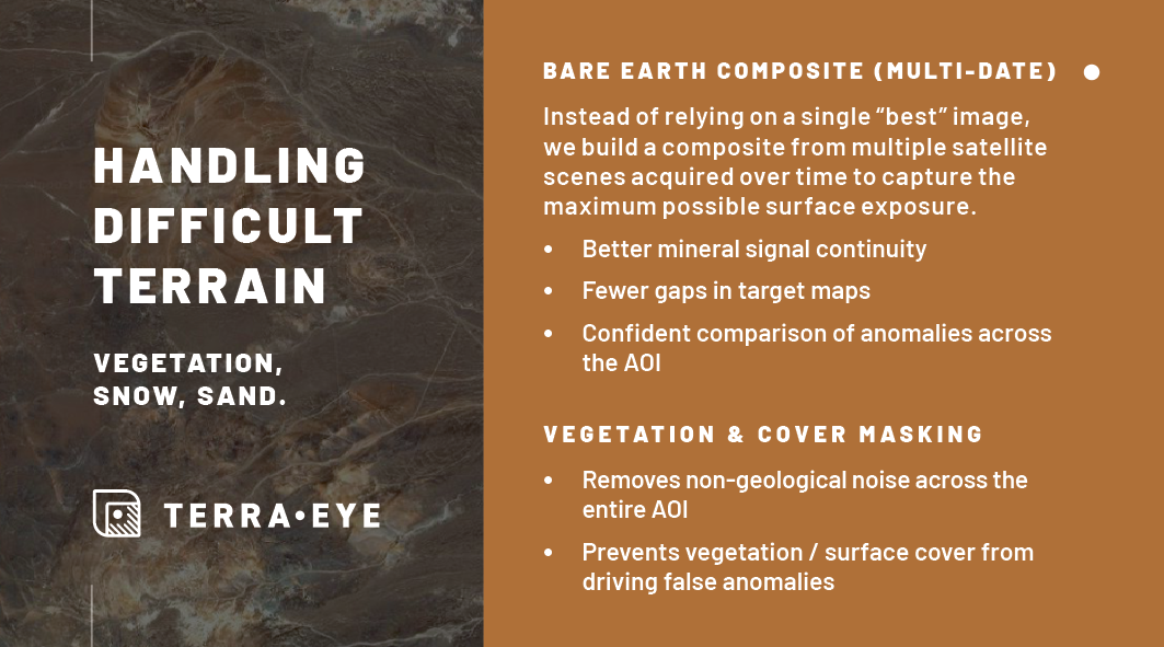
Bare Earth Composite (multi-date)
Instead of relying on a single “best” image, TerraEye creates a composite from multiple satellite scenes over time, maximizing surface exposure and capturing subtle signals that might be missed in any individual scene. Our BEC is prepared based on Sentinel, ASTER, EMIT or Landsat.
Why you should care:
- Usually ~25% more usable ground pixels compared to single-scene analysis (In some cases even 70% more!)
- Improved continuity of mineral signals across your area of interest
- Fewer gaps in spectral target maps, ensuring comprehensive coverage
- Higher confidence when comparing anomalies across the AOI, supporting better prioritization for field verification
By leveraging multi-date composites, exploration teams can extract the clearest, most consistent spectral information, even in areas with intermittent surface cover or seasonal variability. This approach enhances decision-making early, allowing resources to be focused on zones with the highest probability of meaningful mineralization.
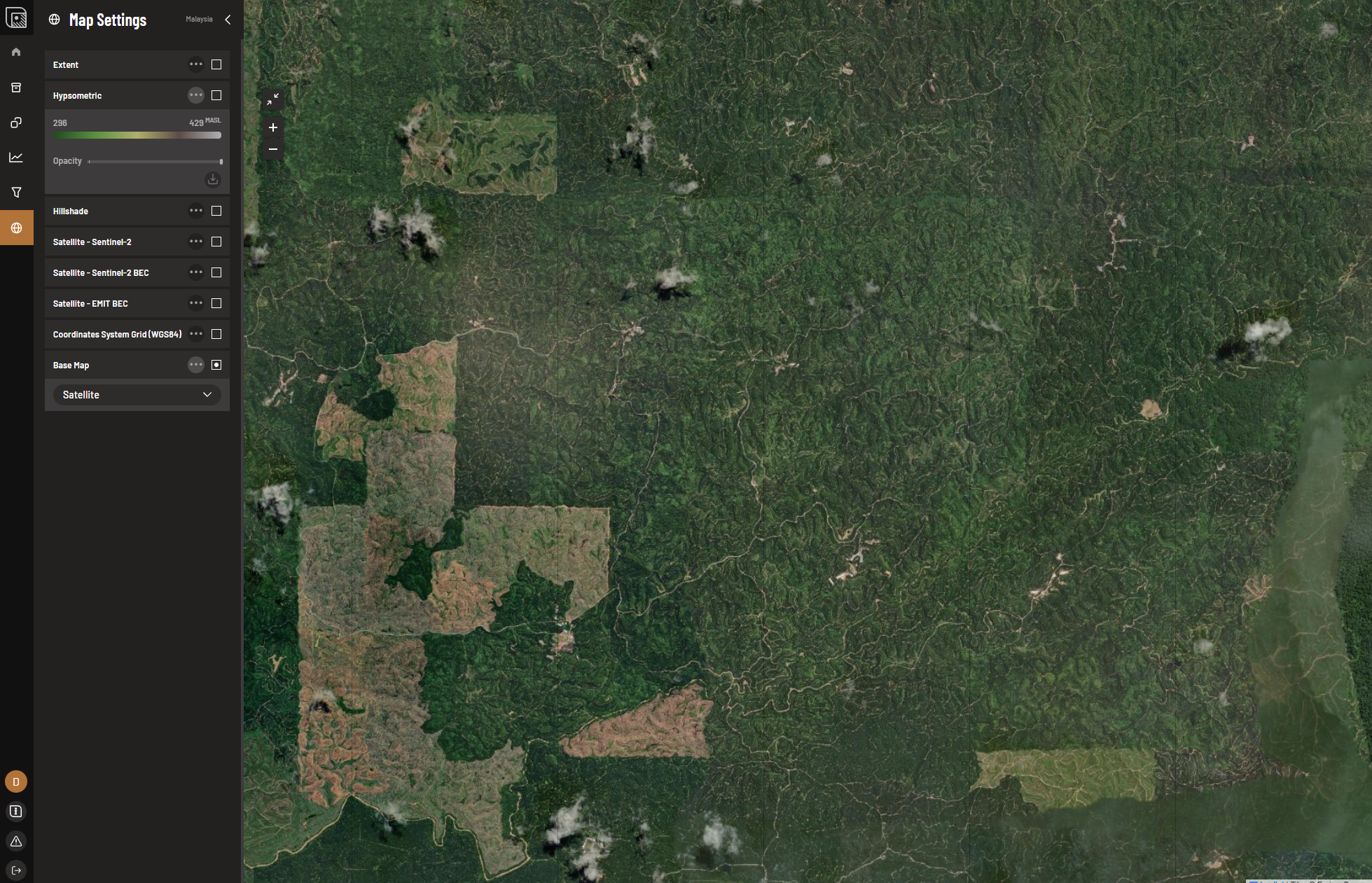
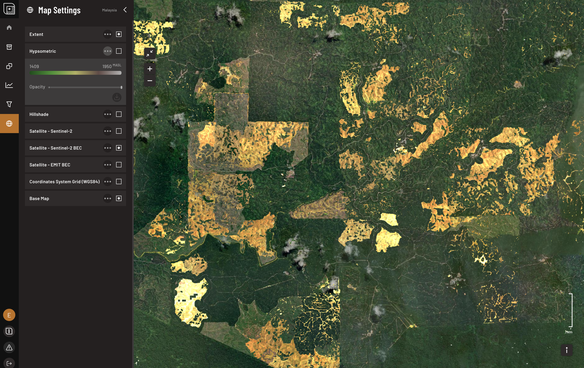
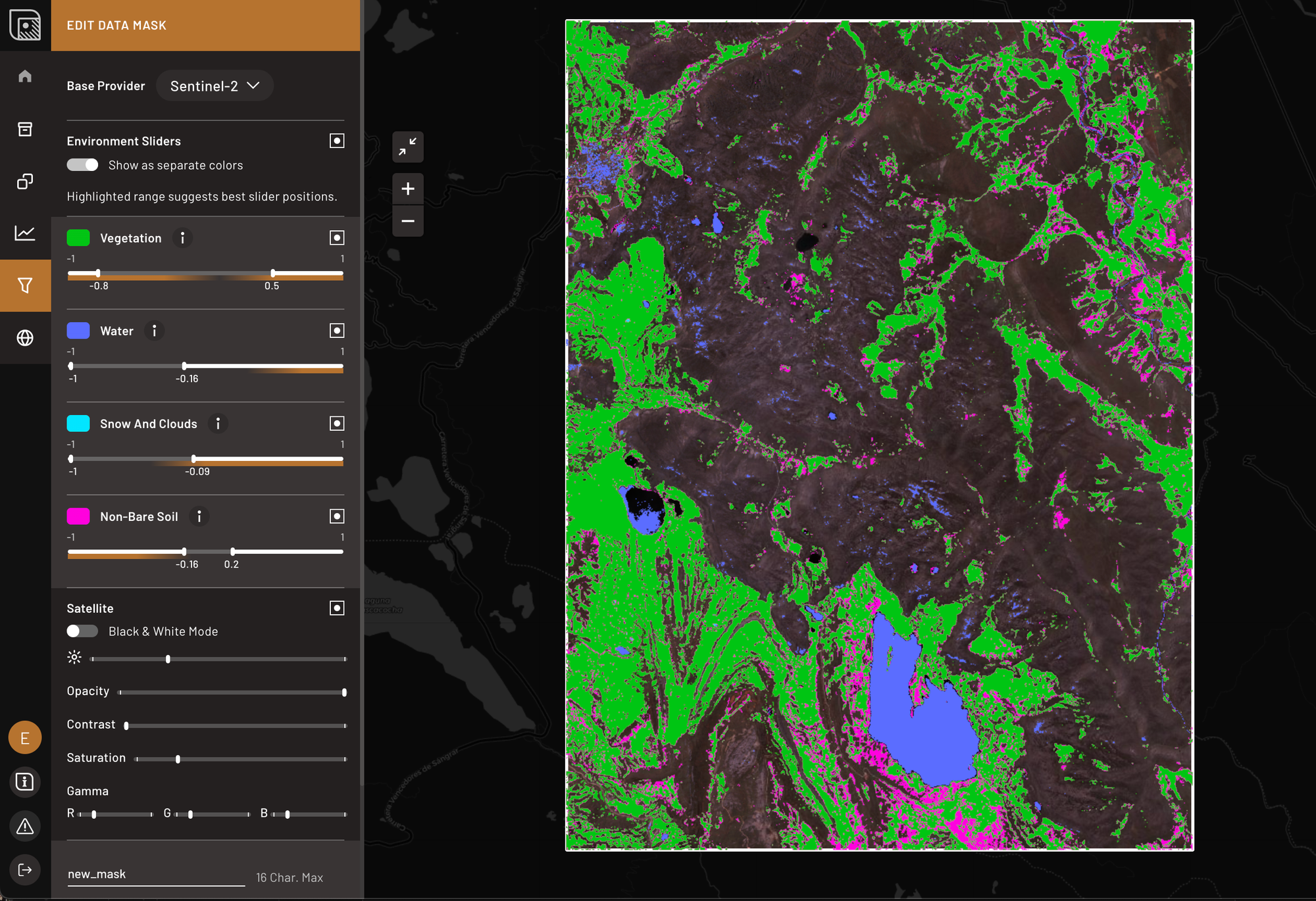
Surface Cover Masking
Dense canopy, snow, water, clouds, and sand are automatically detected and removed so only reliable ground pixels enter the analysis. This preprocessing maximizes the number of usable pixels per image, extracting the highest possible spectral detail from every scene.
By filtering out non-geological surface features, TerraEye ensures that the spectral data reflects true mineral and alteration signals. This allows your geology team to see subtle patterns that would otherwise remain hidden, improving the accuracy of spectral target maps and the precision of subsequent field verification.
Benefits for you:
- Consistently removes non-geological noise across the AOI while maximizing usable ground pixels, extracting the maximum spectral information from each data source.
- Prevents false anomalies caused by surface cover, reducing the risk of chasing irrelevant targets
- Focuses interpretation on actual mineralization and alteration, supporting more precise mapping and sampling decisions
Linear Spectral Unmixing (LSU)
In many areas, a single satellite pixel contains a mix of vegetation, soil, and exposed rock. Linear Spectral Unmixing separates these mixed signals to better represent actual ground conditions.
TerraEye applies LSU to reduce the influence of residual vegetation in the Bare Earth Composite. Each pixel is analyzed as a combination of vegetation, soil, and rock signals, allowing the vegetation component to be identified and minimized. The result is a refined dataset that more accurately reflects true bare-ground spectral responses.
How this impacts results:
- Recovers mineral and alteration signals from partially vegetated or mixed pixels
- Reduces vegetation-driven noise in spectral data, improving clarity of alteration patterns
- Reveals targets that conventional pixel-level spectral approaches, which treat each pixel as a single mixed signal rather than separating vegetation, soil, and rock, often miss — enabling confident prioritization of field verification and early elimination of low-confidence ground.
PART 2: